Spatial Data Infrastructure and Standardization
Introduction
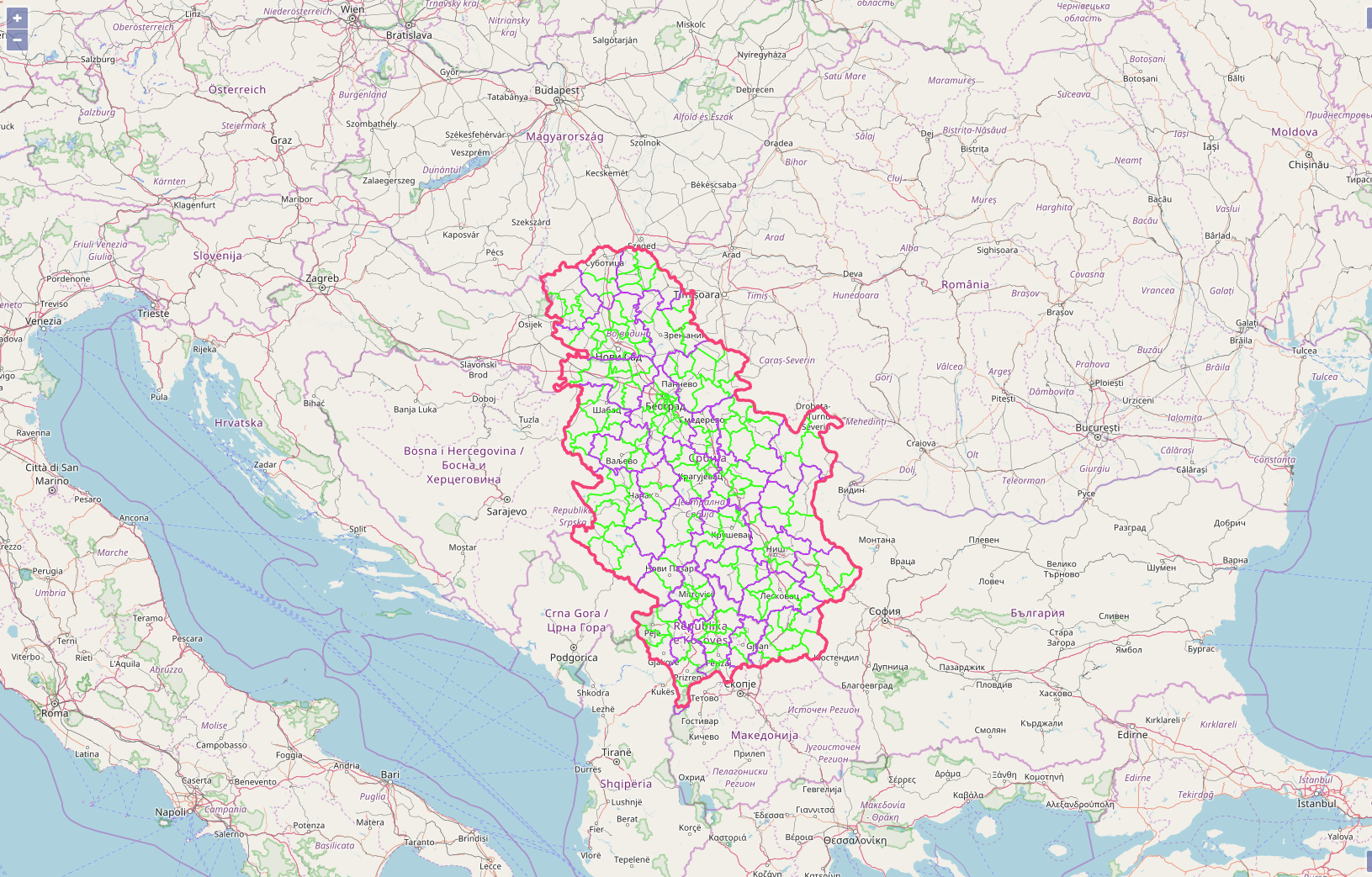
“NGDI – National Geospatial Data Infrastructure” represents the strategy, technology, rules, standards and human resources necessary for the collection, processing, storage, access, exchange and optimal use of geospatial data of the Republic of Serbia;

The Law on State survey and Cadastre regulates the establishment and maintenance of the national infrastructure of geospatial data in the Republic of Serbia. This law transposes into national legislation the EU Directive 2007/2 / EC – Infrastructure for Spatial Information and the European Community – INSPIRE.
NGDI are metadata, geospatial data sets and services; network services and technologies; agreements on the sharing, access and use of geospatial data; as well as the mechanisms of coordination and monitoring, processes and procedures established, administered and made available in accordance with this Law.
Data models
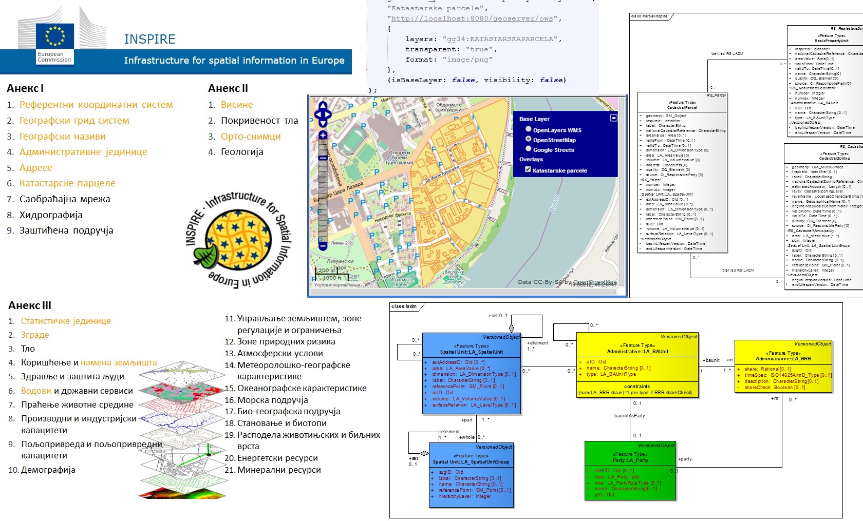
Data models according to the INPSIRE directive and the ISO 19100 and OGC series standards.

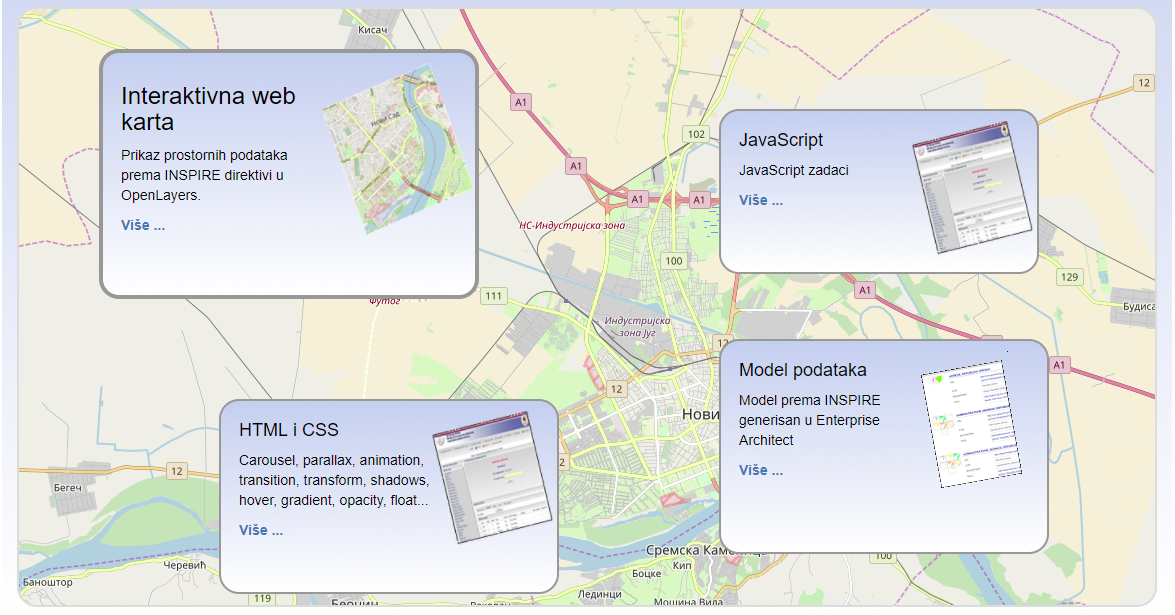
HTML, CSS and JavaScript Basic technologies for creating web pages: HTML, CSS and JavaScript

Publication of geospatial data
The process involves data modeling according to the INSPIRE directive, through ETL transfromation to data publishing through Geoserver and OpenLayers.

Creating project tasks
Teamwork and independence in the realization of the solution
