Remote sensing and image processing
Remote sensing is the acquisition of information about an object or phenomenon without making physical contact with the object and thus in contrast to on-site observation, especially the Earth. Remote sensing is used in numerous fields, including geography, land surveying and most Earth science disciplines (for example, hydrology, ecology, meteorology, oceanography, glaciology, geology); it also has military, intelligence, commercial, economic, planning, and humanitarian applications.

In current usage, the term “remote sensing” generally refers to the use of satellite- or aircraft-based sensor technologies to detect and classify objects on Earth, including on the surface and in the atmosphere and oceans, based on propagated signals (e.g. electromagnetic radiation). It may be split into “active” remote sensing (such as when a signal is emitted by a satellite or aircraft and its reflection by the object is detected by the sensor) and “passive” remote sensing (such as when the reflection of sunlight is detected by the sensor)
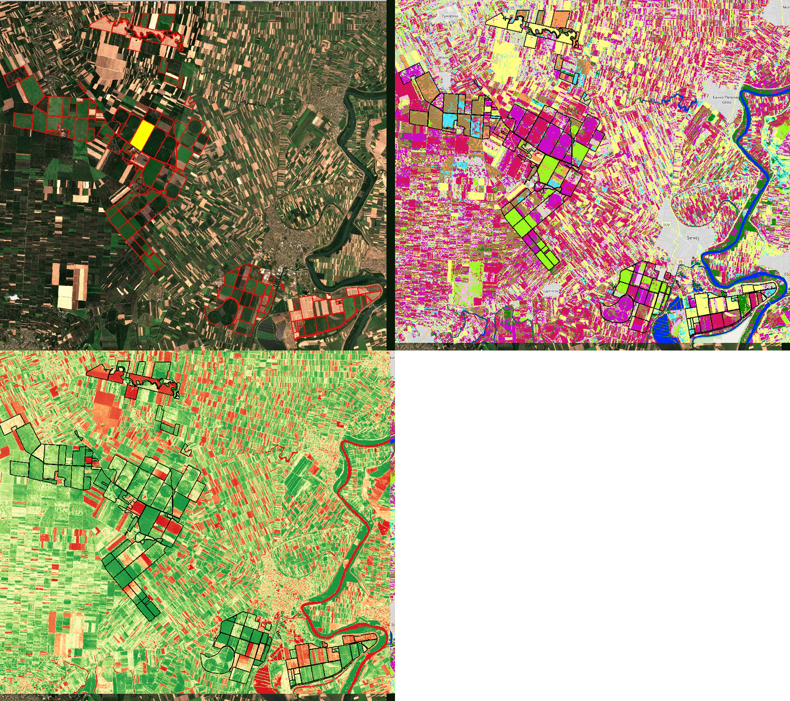
The goal of remote sensing is fast and efficient collection of precise information about relatively large areas. It allows collection of data at risky and dangerous areas such as flooded areas, areas under fire or similar. Trough analysis of those images it is possible to detect daily, season or yearly changes.

Remote sensing replaces expensive and slow data acquisition on Earth, with no interfering with nature and existence of observed objects or areas. It is also used in urban planning of objects such as roads, railroads, powerlines…

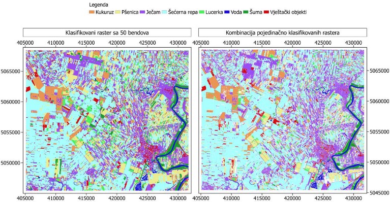
Processing of remotely detected images allows identification of landcover type, changes that occurred due to different natural disasters such as flooding, mudslides, fires… Remote sensing is also useful in studies about vegetation types and their conditions and determination if the vegetation is healthy, sick or under some kind of pollution. Application of remote sensing is interesting in urban area analysis, where it can be used to determine if the area is residential, agricultural or industrial.


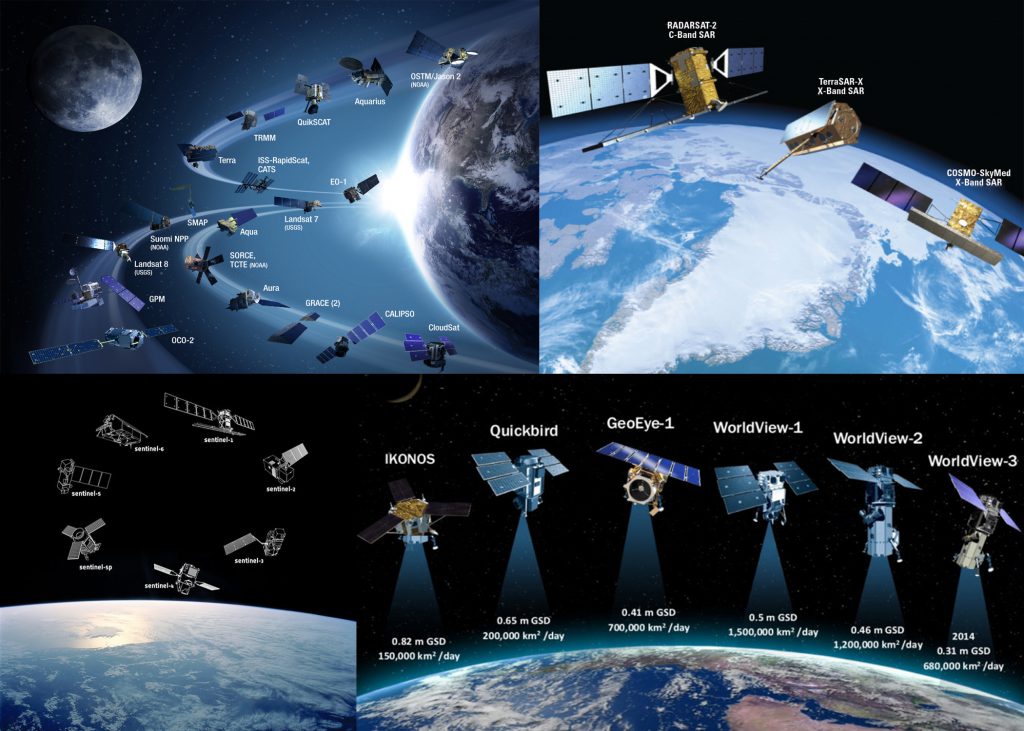
The data we own and use in the teaching process and projects include more than 30 satellite and aerial platforms, some of them are: Landsat 1-8, Sentinel 1-2, EO-1, IRS, RapidEye, Ikonos, QuickBird, Terrasar, WorldView1-4, GeoEye, Spot1-5, RadarSat, Aster, ALI, …
