Spatial databases
Spatial database is a collection of information and data that are acquired in certain, usually longer, time period. Object-relational databases allow alternate approach to application of object-oriented paradigm within the database management system. Object-oriented model and object-oriented databases represent revolutionary approach to storing and managing complex objects in database management systems. This approach integrates object-oriented concepts to databases.
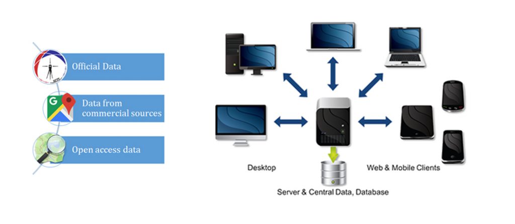
Database Management System (DBMS) represents a specialized software that allows database creation and manipulation. Important properties are:
- Securing large data storing
- Securing methodology for approaching, searching and data modification
- Providing multiple users mode of work

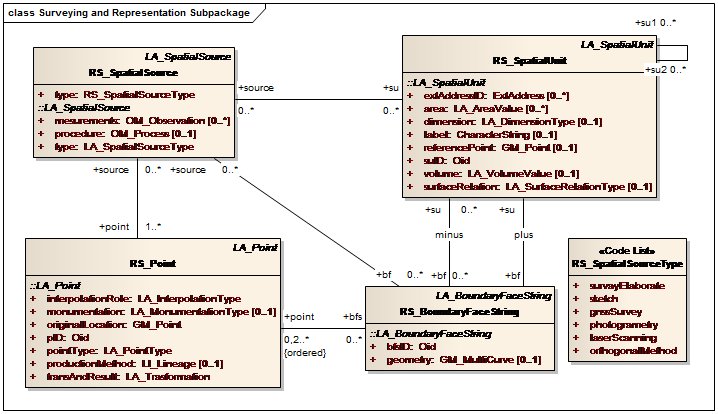
Conceptual schema designing is a process that determines the structure of the database in order to reduce redundancy and allow fast searching and data approach. Trough this process, attributes and tables are determined along with datatypes and connections. Key step to this process is multiple layered architecture and database schema definition. System model is defined by important functions of a real or imaginary system trough usable form and it is modeled by Unified Modeling Language (UML).
Spatial databases are powerful not only because they can store geometry, but because they have the possibility to compare geometry relations. Questions like “what’s the closest coffee place near the faculty?” or “where are the road and railroad intersections in the city?” can be answered only by comparison of the geometries. OGC standard defines multiple methods to compare geometries in order to correctly answer these questions.
DE 9 IM ( Dimensionally Extended nine Intersection Model ) is a topological model and standard that is used to describe spatial relations of two geometries.
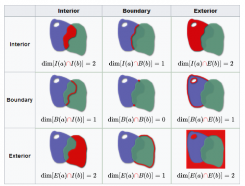
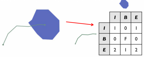
Spatial searching is done trough geometric relations.
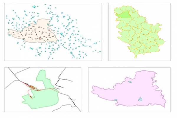
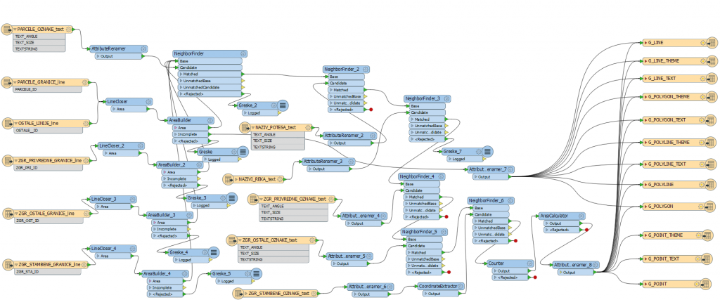
Spatial transformation and load (ETL) allows functionalities of data processing trough traditional ETL concepts, but with the focus on spatial data manipulation. ETL system can transform data directly from one format to another, or trough a proxy format. FME (Feature Manipulation Engine) is a program created exactly for data conversion, transformation and data compatibility problem solutions.
