Detection of objects of underground infrastructure
Ground Penetrating Radar (GPR) – detection of underground infrastructure facilities, structural changes (objects / land) and soil characteristics

EQUIPMENT AND SOFTWARE
The Geoinformatics Laboratory possesses the following devices and data acquisition software in subsoil layers of soil:
Georadar (GPR) – HARDVER
- Management-acquisition unit
- Antenna monostatic circuits: 200, 400 and 900MHz
- Synchronized acquisition (georeferencing) with GNSS / TS devices Accessories (vehicles, cables, Data Logger, batteries …)
- Features: Range: up to 8m
- Detection resolution: 2.5 – 10cm
- Relative depth: 1 – 10cm
- Positional accuracy: up to 10cm
- Speed of acquisition: up to 5km / h Georadar
(GPR) – SOFTWARE Licensed software:
- RADAN
- Open source: MatGPR, GPRMax
- Development of own modules for analysis and processing
Electromagnetic Locator (EML)
- Transmitter-transmitter system with 2 horizontal and 1 vetric coil
- Synchronized acquisition (georeferencing) with GNSS devices
- Electronic Marker System (EMS) technology

APPLICATIONS OF GEORADAR SCENARIATION TECHNOLOGY – PROJECTS
Detection of underground infrastructure objects
- Detection and localization of the existing groundwater line
- Analysis of the future (projected) route of groundwater
- Analysis and location of all existing underground lines (objects) on the defined surface
- Detection and identification of cluttered objects (manholes, wells, archaeological artifacts, underground passages, cellars …)
- Pipeline leak detection (water damage)
Analysis of structural changes (objects / land)
- Analysis of the state of the inner structure of the defensive embankments
- Analysis of the state of the interior structure of the landslide
- Analysis of the state of the internal structure of the concrete cover of the tunnel and surrounding land
- Analysis of the state of the internal structure of concrete structures (poles, bridges, pavements …)
- Analysis of the impact of irrigation / agrochemicals on the development of the root system volume
- Analysis of the state of the garbage dump structure
Analysis of soil characteristics
- Determination of the thickness of lithological layers of soil (land consolidation)
- Determination of the type of soil in the lithological layer (land consolidation)
- Groundwater level detection (up to 6m depth)
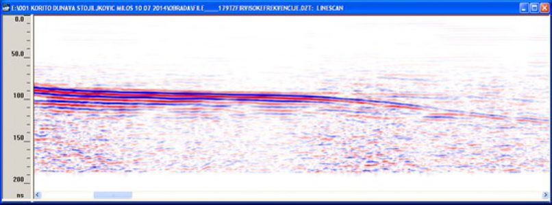
- Determination of sediment thickness in rivers, canals and lakes
- Determination of volume moisture content in the soil (hydrological characteristics)
- Determination of spatial distribution of water / agrochemicals in soil
- Geological research (wall and soil structure)
Analysis of traffic characteristics
- Analysis of the condition of roads, runway, roadway of all types, pavements
- Analysis of the condition of the railway embankment (ballast)
Other applications
- Archaeological research
- Forensic research
- Detection of mine explosive devices
- Analysis of the condition and structure of ice deposits
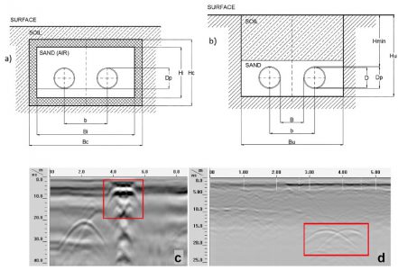
1.1. Underground lines – optical lines
1.2. Underground lines – hot water
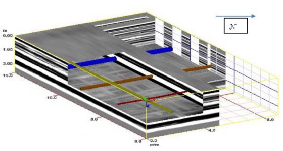
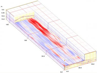
1.3. Underground lines – 3D model
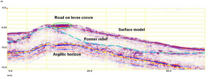
2. Internal embankment structure
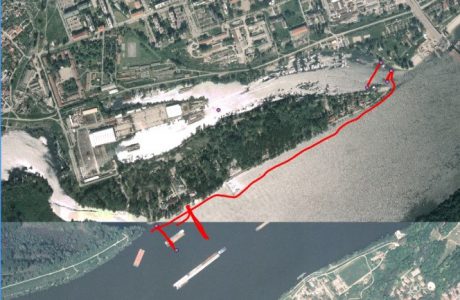
3. Sediment analysis in the Danube
