“Application of GPR technology in archeology” course
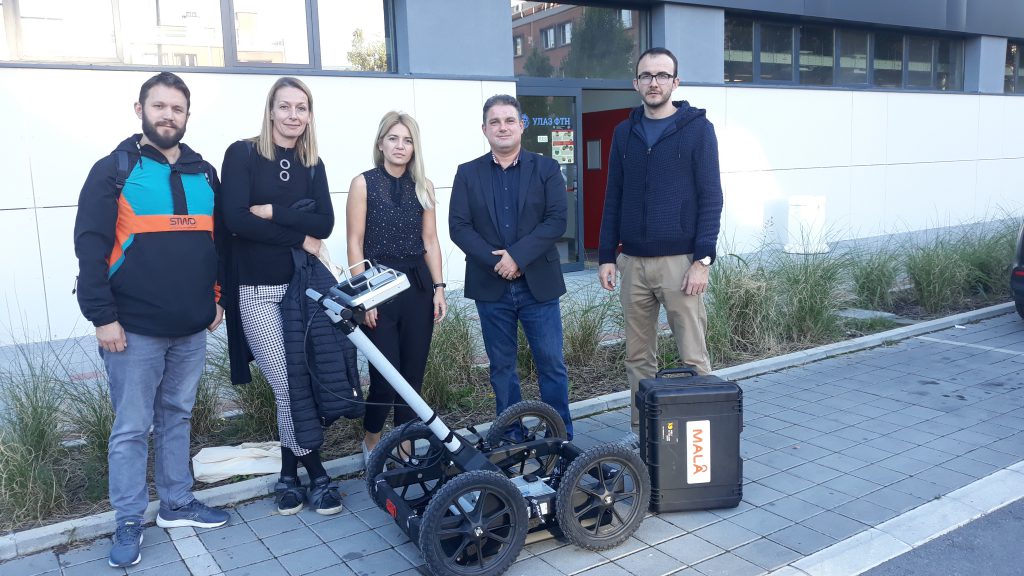
In the period from 20.09. – 24.09.2021. in the organization of the Laboratory for Geoinformatics at the Faculty of Technical Sciences in Novi Sad, a course was held in the field of application of georadar scanning technology for the needs of detection and identification of archaeological content. The course was attended by participants from the Provincial Institute for the Protection of Cultural Monuments based in Petrovaradin. Considering that the Provincial Institute for the Protection of Cultural Monuments previously purchased the Mala Ground Explorer georadar with the associated 450MHz central antenna and ReflexW radar processing software, the training was performed with the specified equipment at the request of the participants.
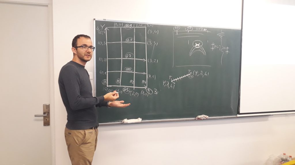
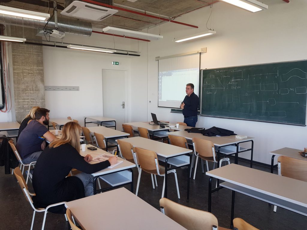
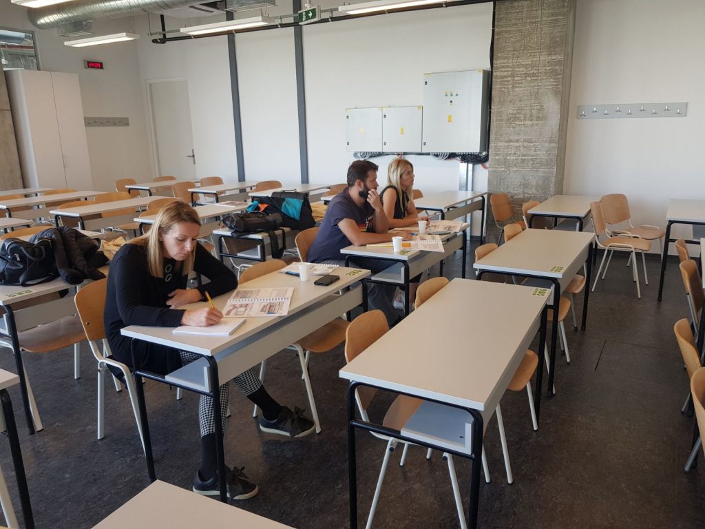
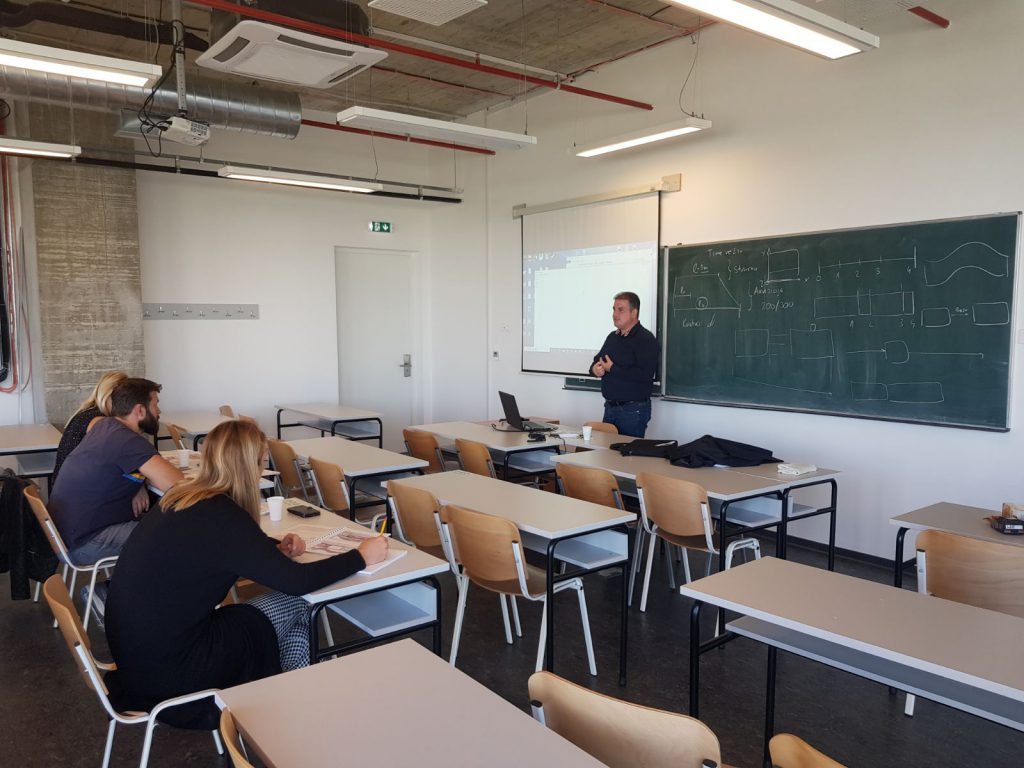
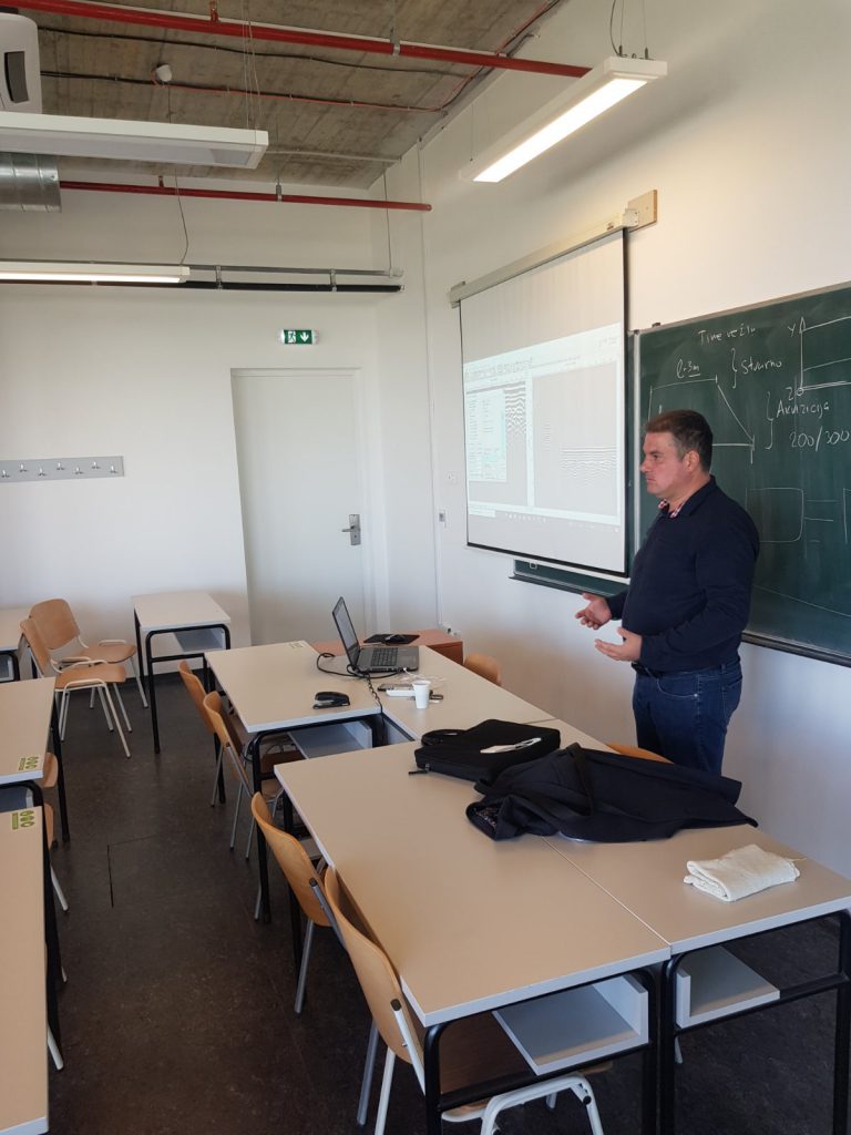
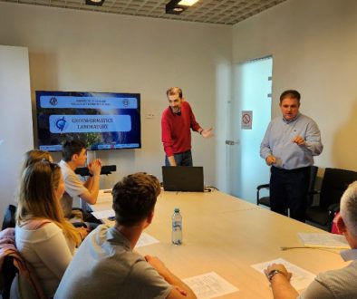
The theoretical part of the course included: description and specification of georadar characteristics, analysis of the impact of the acquisition process in combination with the impact of the surrounding land and classes of objects that represent potential archaeological content on acquisition techniques and results. Special emphasis is given to advanced acquisition techniques that include an integrated mode of operation with a GNSS device, as well as the formation of a basic and complex 3D model. As part of the interpretation of the results on examples with archaeological content, the effects of EM wave polarization, basic and advanced phases of processing and software processing of radargrams in the ReflexW environment were analyzed. This part of the course was presented by PhD Aleksandar Ristic, a full professor at FTN, in the premises of the Science and Technology Park.
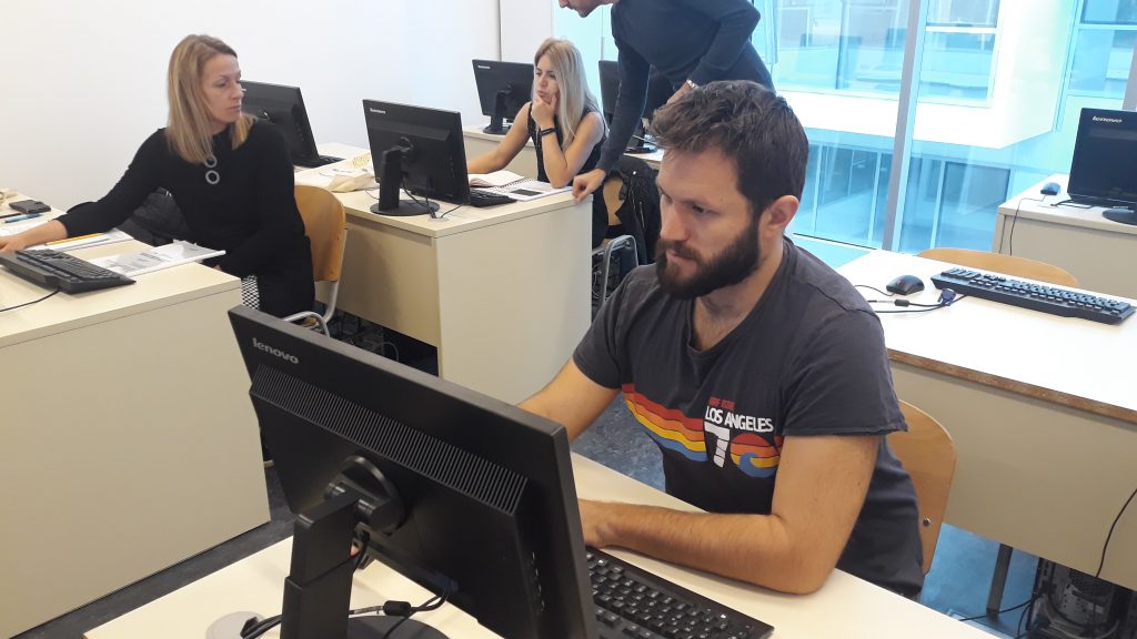
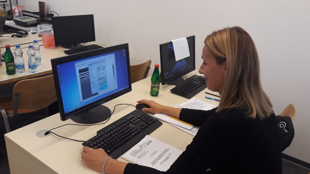
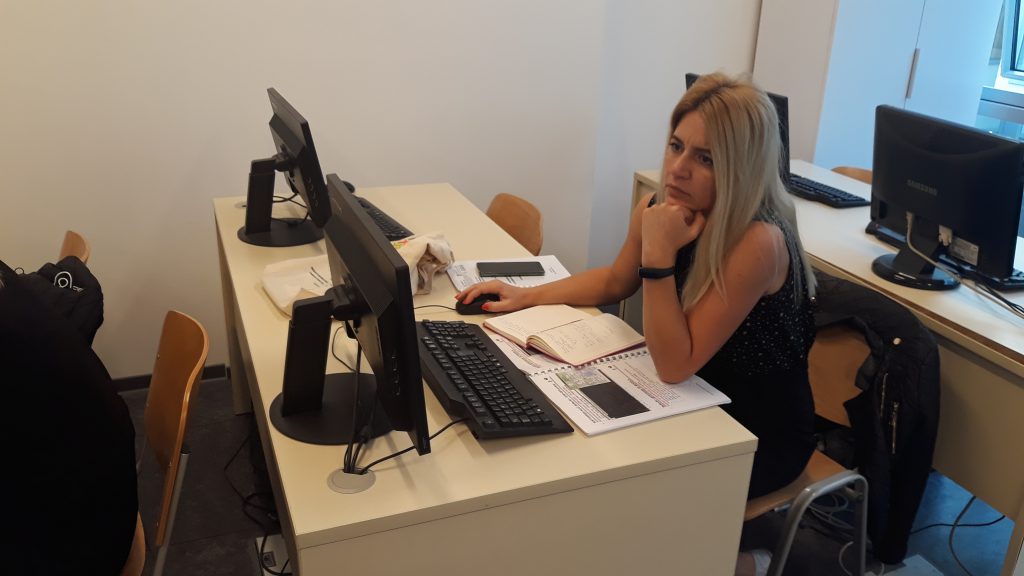
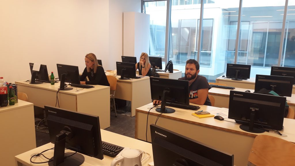
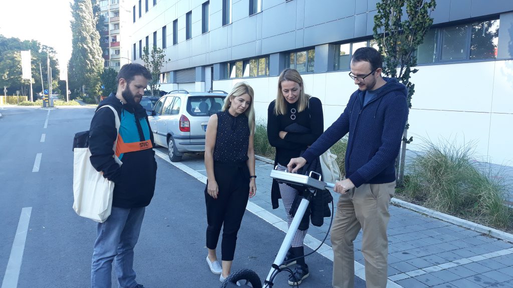
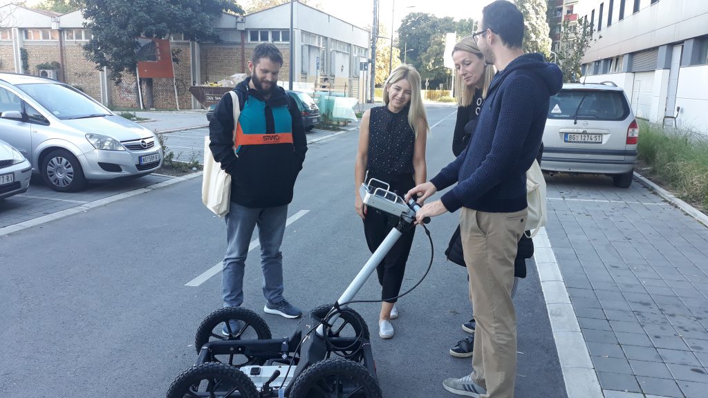
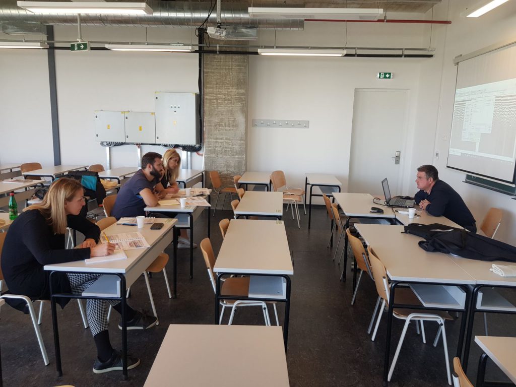
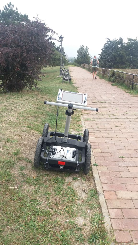
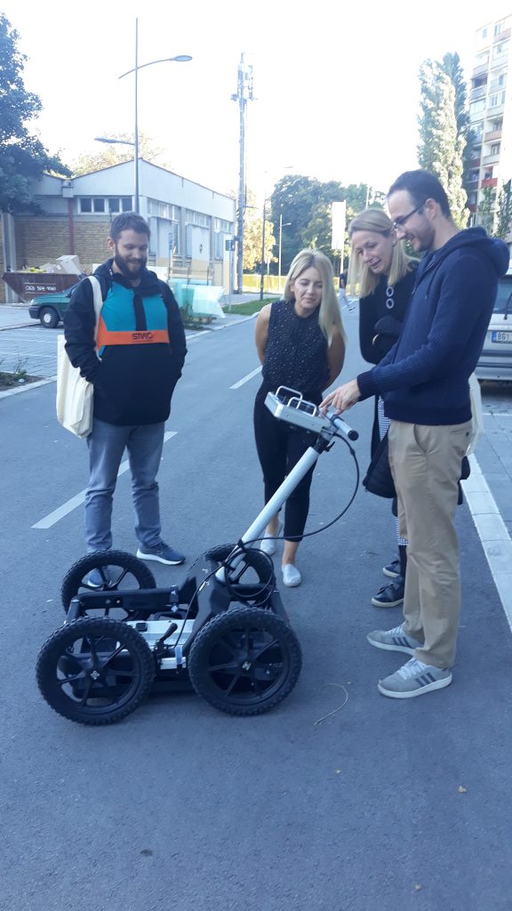
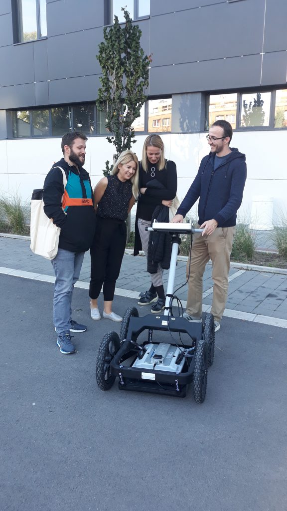
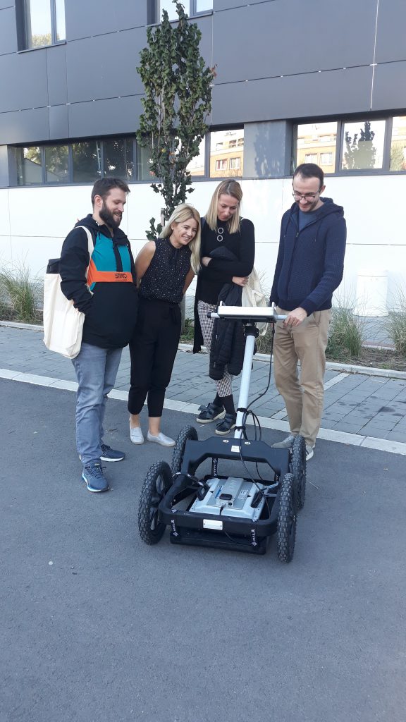
Participants were also introduced to the practical application of Mala Ground Explorer georadar and data processing, which included: introduction to hardware and software units of georadar, setting acquisition parameters on the Mala GX controller, calibration of encoders and dielectric constants, 2D scanning of objects of different dimensions, materials and dispositions, realization of acquisition process for creating 3D models with or without integration with GNSS device, interpretation of scan results, processing and processing of radargrams. Data acquisition was performed using the Mala GX device, partly in the campus area of the University of Novi Sad, and partly at selected locations at the Petrovaradin Fortress. Software processing of the acquisition results was performed in the ReflexW environment in the computer laboratory of the FTN Science and Technology Park. This part of the course was conducted by MSc Zeljko Bugarinovic, assistant at FTN.
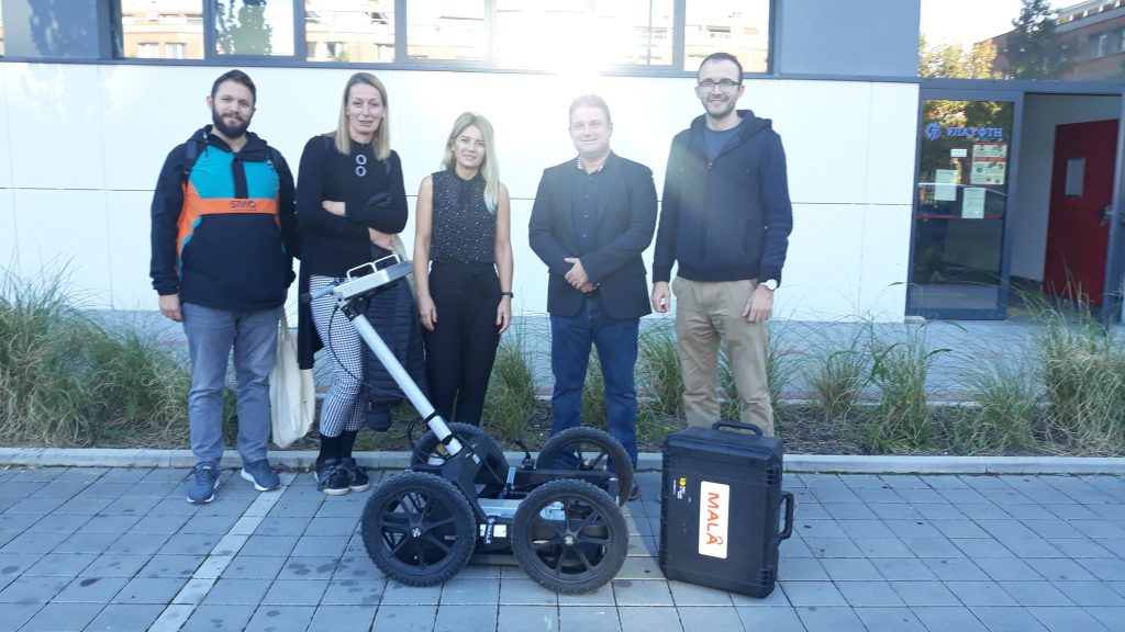
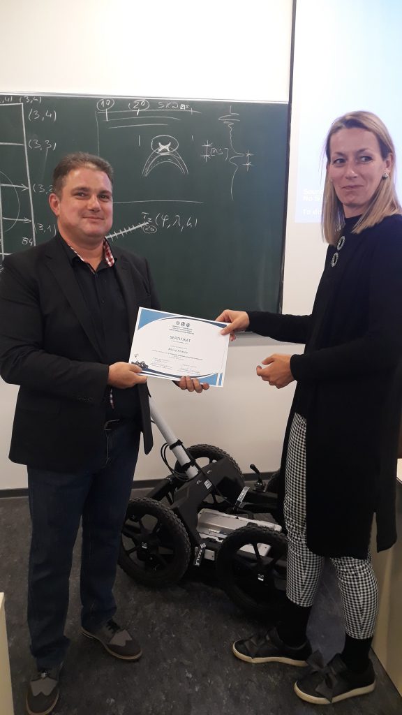
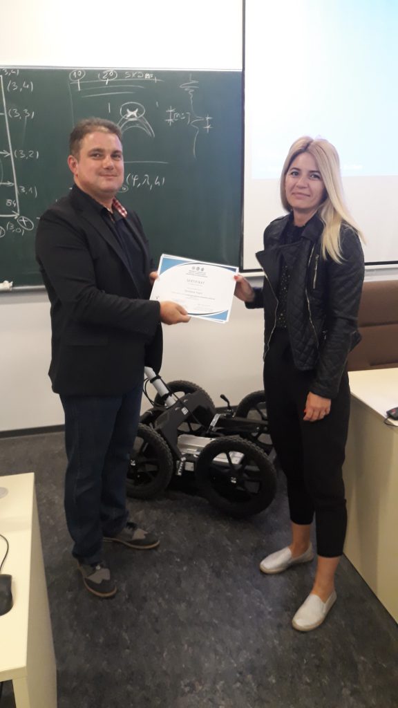
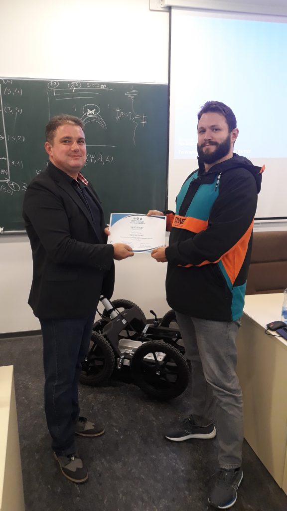
Upon completion of the training, prof. PhD Aleksandar Ristic and MSc. Zeljko Bugarinovic handed the course participants Certificates of successfully completed basic training.
