Geoinformatics
  • Home
  • About
  • News
  • GeoFTN
  • Teaching Staff
  • Publications
  • Research Areas
  • Projects
  • Links
  • Contact

Language

  • Српски језикСрпски језик
  • EnglishEnglish
European Conference “European Experience, Standards and Recommendations in the Application of Georadar Scanning Technology”

European Conference “European Experience, Standards and Recommendations in the Application of Georadar Scanning Technology”

On Friday, March 10, 2017. a workshop titled “European Experiences, Standards and Recommendations in the Application of Georadar Scanning Technology” was held at the Faculty of Technical Sciences. The meeting was organized as part of the program for the popularization of this technology within the COST TU1208 project, in which the Laboratory for Geoinformatics of the Department of Computing and Automation is actively involved. The gathering was opened by the vice-chancellor Dr Dragan Šešlija, and then Dr. Miro Govedarica presented the capacities of the FTN and the Laboratory for Geoinformatics. Project Leader TU1208 dr Lara Pajevski from Rome presented the goals, implementation and results of the project, with a prominent contribution from the Laboratory for Geoinformatics through the implementation of recommendations for the application of geodata scanning technology, the preparation of educational materials, as well as a series of scientific publications. 
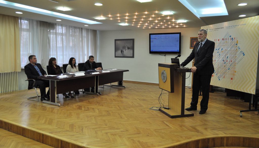
Dr. Aleksandar Ristic from FTN, Dr. Simona Fontul from the National Laboratory for Construction from Lisbon, and Dr. Damir Varevac, Dean of the Faculty of Civil Engineering in Osijek held lectures on the practical application of this technology in the field of detection of underground infrastructure objects, road structure analysis and railways as well as in other areas. 
The gathering was attended by more than a hundred guests from industry, professional and academic institutions, both from Serbia and the surrounding area, making this workshop the most visited in comparison to all previously held workshops of this project. During the meeting, a poster of sessions was held where the students of the study program Geodesy and Geomatics presented different applications of the georadar scanning technology with extremely positive reactions of the guests. The topics presented at the event had a very good response to the audience and encouraged constructive discussion during the debate. For the organization of the meeting of the Laboratory for Geoinformatics, she received praise from both guests and lecturers from abroad.

Open Laboratory for Geoinformatics at Faculty of Technical Sciences 3D Cadastre Lecture

Related Posts

Erasmus+ traineeship mobility, short blended intensive program (BIP) of learning, teaching, and training for students and staff

News

Erasmus+ traineeship mobility, short blended intensive program (BIP) of learning, teaching, and training for students and staff

New “GeoBiz” newsletter is released

News

New “GeoBiz” newsletter is released

Geoinformatics Laboratory is richer for another PhD

News

Geoinformatics Laboratory is richer for another PhD

Language
  • Српски језикСрпски језик
  • EnglishEnglish
© 2017 - Geoinformatics Laboratory