Open Laboratory for Geoinformatics at Faculty of Technical Sciences
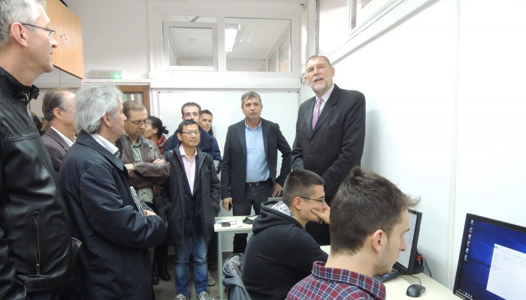
Within the project “Modernization of Education in Geodesy in the Western Balkans and Improvement of Expertise” (GEOWEB), the Laboratory for Geoinformatics was equipped. Vice Dean for Science, prof. Dr. Dragan Šešlija, Project Coordinator, Dr. Huaan Fan at the Department of Geodesy and Satellite Positioning, Royal Institute of Technology, and the local coordinator of the project prof. Dr. Miro Govedarica, opened the Laboratory on Friday, October 21, 2016. years.
The Laboratory is equipped with 16 desktop PCs, one server and 3D projector. Within this project, it is planned to set up a geosensor that will be connected to the geosensor network. Besides the laboratory there are measuring equipment for geodesy and geomatics that students can use for field measurements.
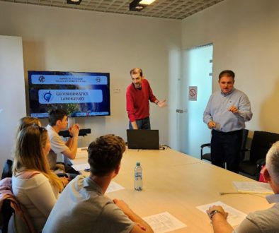
Within the laboratory, students will acquire practical knowledge in the field of geoinformatics, as the laboratory now has modern resources for acquiring, processing and distribution of geospatial data and information. Students will use the modern acquisition equipment to collect data, then work in the laboratory to process data using current software solutions in the field of geoinformatics.
The GEOWEB project predicate the improvement of regional cooperation and integration between educational institutions in the field of geodesy, geomatics and geoinformatics and other partners of the project participants. The program will provide development of plans and programs with the focus on achieving competence and improving the learning of geodesy, geomatics and geoinformatics with emphasis on improving the system of learning in geodesy, geomechanics and geoinformatics at partner universities. The result of the project will be the implementation of a mechanism for quality assurance in education in order to acquire expertise and introduce e-learning based on problem solving. In cooperation with educational institutions and other partners, the improvement of the existing GIS applications in the area of land management and use, water and environmental protection and remote detection will be carried out.


