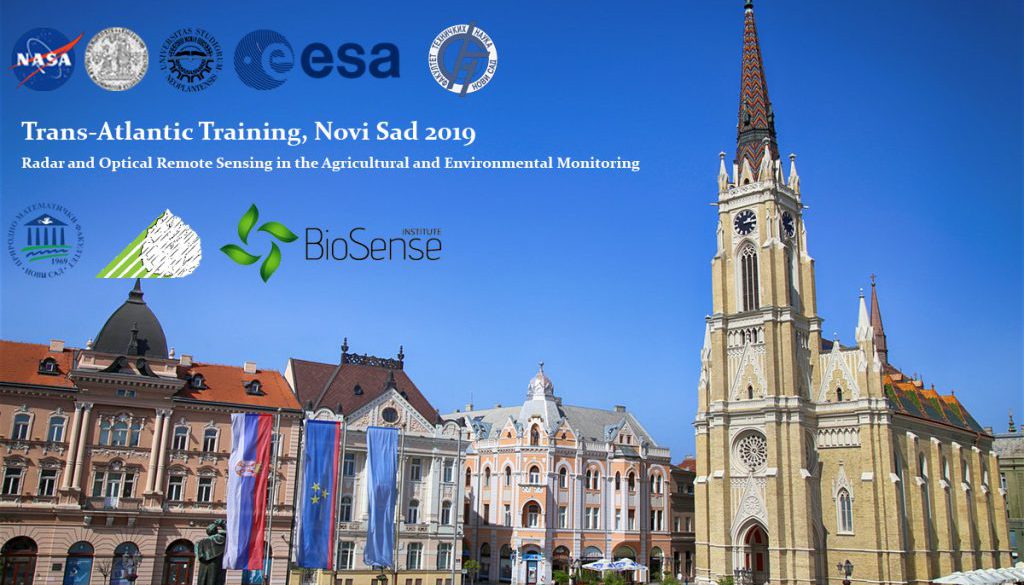
Trans-Atlantic Training 2019, Novi Sad
Trans-Atlantic Training (TAT) initiative includes training activities for students and the early-career scientists in the area of Earth Observation, with an emphasis on remote sensing of land-cover changes and ecosystem dynamics. The purpose of TAT is to share and discuss advanced research methods and technologies from space during a series of meetings for scientists and students from both Europe and the USA.
The topic of TAT 2019 (TAT-7) is “Radar and Optical Remote Sensing in the Agricultural and Environmental Monitoring”. Lectures and training activities will be focused on the agriculture application and the evaluation of ecosystems (e.g. forest disturbances, agricultural land changes and abandonment) by using different types of sensors.
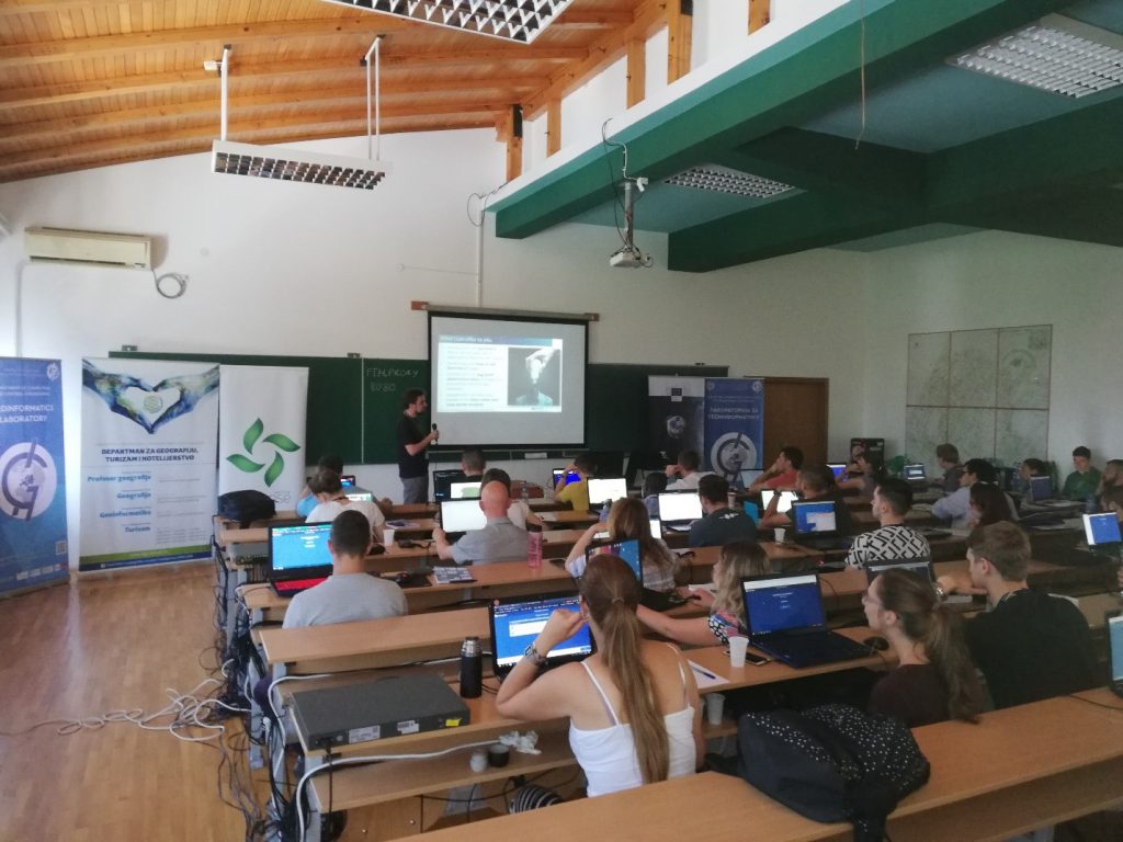
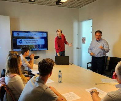
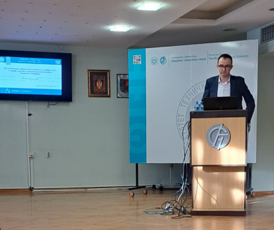
Trans-Atlantic Training was held at the Faculty of Technical Sciences from 20-24. June 2019., and one of the coorganizers was Geoinformatics Laboratory. Participants from different European countries (Serbia, Croatia, Bosnia and Herzegovina, Slovenia, Czech Republic, Italy, Malta, Ukraine, Germany, Hungary, The Netherlands) had the opportunity to hear lectures from leading experts in the area of remote sensing but also take part in practical exercises and apply the knowledge they gained during the 4 days of training.
This year’s TAT lecturers:
- PhD Garik Gutman, Program Manager for Land-Cover/Land-Use Change (LCLUC) Program and Landsat activity in NASA
- PhD Přemysl Štych Univerzitet Karlova,
- PhD Pierre-Louis Frison, l’Université Paris Est Marne la Vallée (UPEM) i Research Unit in Geo-Information Science of the French Mapping Agency
- PhD Gregory Taff, Director Of Research And Data Integrity (WRI)
- PhD Mihai Daniel Nita, Faculty of Silviculture and Forest Engineering, Universitatea Transilvania Brasov.
- PhD Petya Campbell, Joint Center for Earth Systems Technology (JCET) , University of Maryland Baltimore County (UMBC)
- PhD Mutlu Ozdogan, Associate Professor of Forest Ecology & Environmental Studies, University of Wisconsin-Madison
- Martin Sudmanns, PhD Researcher at the Department of Geoinformatics – Z_GIS, University of Salzburg
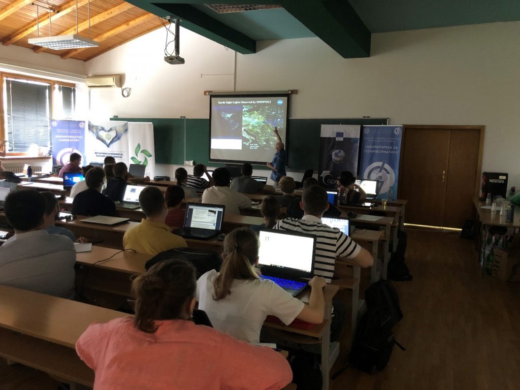
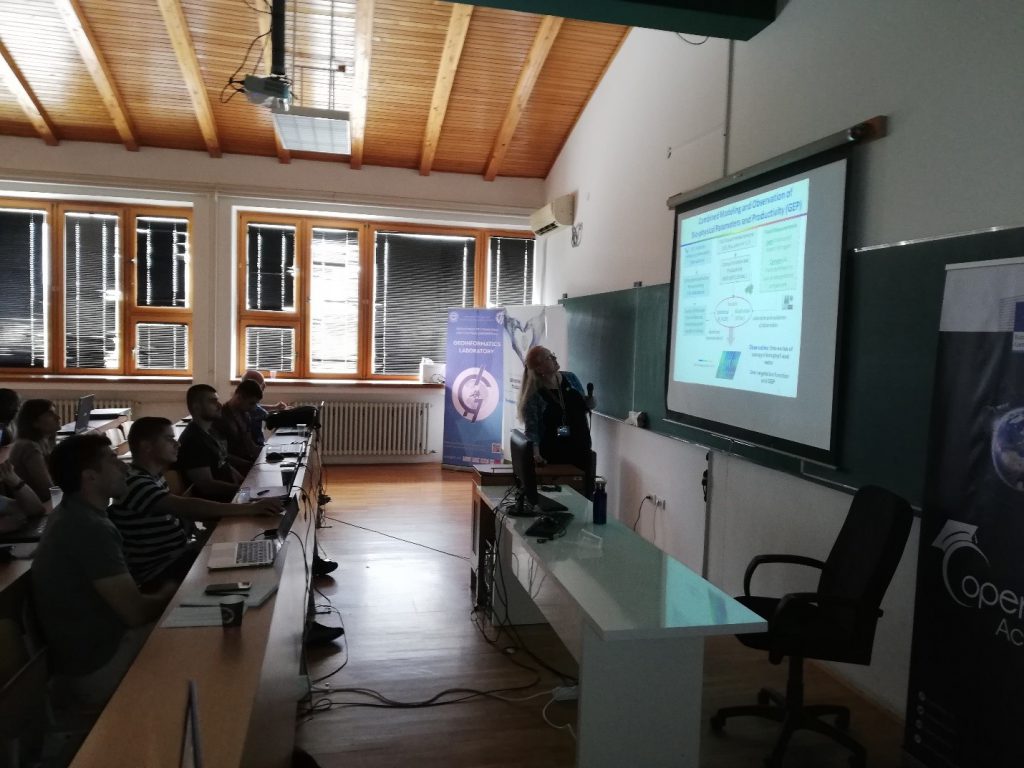
Participants were greeted by professor PhD Přemysl Štych from Charles university, Prague, who presented the history of TAT and aims of the training. After him, representative of European Space Agency (ESA), PhD Francesco Sarti, talked about ESA missions with the emphasis on radar missions. More details about this technology were given trough the lecture of PhD Pierre-Louis Frison from Paris University. Mr Frison lead the practical workshop where he applied the theory in practice to finish the day 1 of training. The second day of training was dedicated to optical sensors and technology that is applied in this area. The concepts of time series and data cube were explained by Martin Sudmanns from Salzburg university, member of Z-GIS center of competences in the area of geoinformatics. The third day the participans were presented by Sentinel Hub application. This lecture was lead by professor PhD Přemysl Štych. After the workshop, participants visited Fruska Gora mountain and took a walk trough the city of Novi Sad for a nice sightseeing that lead to City brewery where they had dinner to conclude day 3. PhD Garik Gutman, Program Manager for the NASA Land-Cover/Land-Use Change (LCLUC) Program started the last day with the lecture „Multi-Sensor Approaches in Monitoring Ecosystem Dynamics: An Update“. After this lecture, PhD Petya Campbell from NASA/GSFC and University of Maryland Baltimore County held the lecture „Monitoring of vegetation dynamics based on different optical data: high spectral resolution, and multispectral (e.g., harmonization of Landsat 8 and Sentinel-2 )“. PhD Gregory Taff from World Resources Institute continued the session with the lecture about combining social and remote sensing data. Active part of the training was concluded by PhD Mihai Daniel Nita from Brasov University with the lecture about classification using Random Forest classification method, and PhD Mutlu Ozdogan from Wisconsin University with the lecture “Time Series in Google Earth Engine”.
The organizers of the training congratulated everyone in the end and handed the certificates of attenadance, and the participants exchanged contact information with the hopes of future cooperation. More details about TAT can be found at following link. Here are some photos from the training.
